Geology Data
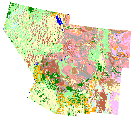
This is a seamless 1:500,000 scale GIS dataset of surficial geologic formations for the states of Arizona, Colorado, Nevada, New Mexico and Utah. The dataset was compiled and edge-matched from existing digital versions of the 1:500,000 scale state geologic maps (Green, 1992; Ramsey, 1996; Turner and Bawiec, 1996; Green and Jones, 1997; Hirschberg and Pitts, 2000). Similar geologic units were correlated only along state boundaries to facilitate edge matching. Correlation and merging of units along state boundaries was based on similar age and characteristics of units. Landsat TM images were visually interpreted to facilitate mapping and edge matching along state boundaries, when necessary. Whenever it was possible existing state specific geologic detail was maintained.
A soil substrate code was derived from geologic unit code using a modified soil classification scheme developed by NatureServe. Soil substrate codes and geologic unit codes were correlated based on bulk rock chemical compositions and characteristics. Soil substrate codes are as follows:
| QYA | Quaternary age younger alluvium and surficial deposits |
|---|---|
| QOA | Quaternary age older alluvium and surficial deposits |
| EOS | Unconsolidated Aeolian sand deposits both active and stabilized |
| SND | Sandstone dominated formations of all ages |
| SLM | Siltstone and or mudstone dominated formations of all ages |
| SHL | Shale dominated formations of all ages |
| CLM | Carbonate dominated formations either limestone or dolomites of all ages |
| EVP | Evaporite units either halite, gypsum, or other saline mineral dominated formations of all ages |
| GSL | Metamorphic or igneous units with a dominantly silicic composition all ages |
| BMC | Metamorphic or igneous units with dominantly mafic composition all ages |
| H20 | Water |
| UNK | Unable to assign a substrate type |
Individual State 500K Geology—Digital Sources
Colorado
Green, G.N. 1992. The Digital Geologic Map of Colorado in ArcINFO Format. OF-92-0507, US Geological Survey, Denver, Colorado.